Biodiversity

Offshore Invertebrate Monitoring Surveys

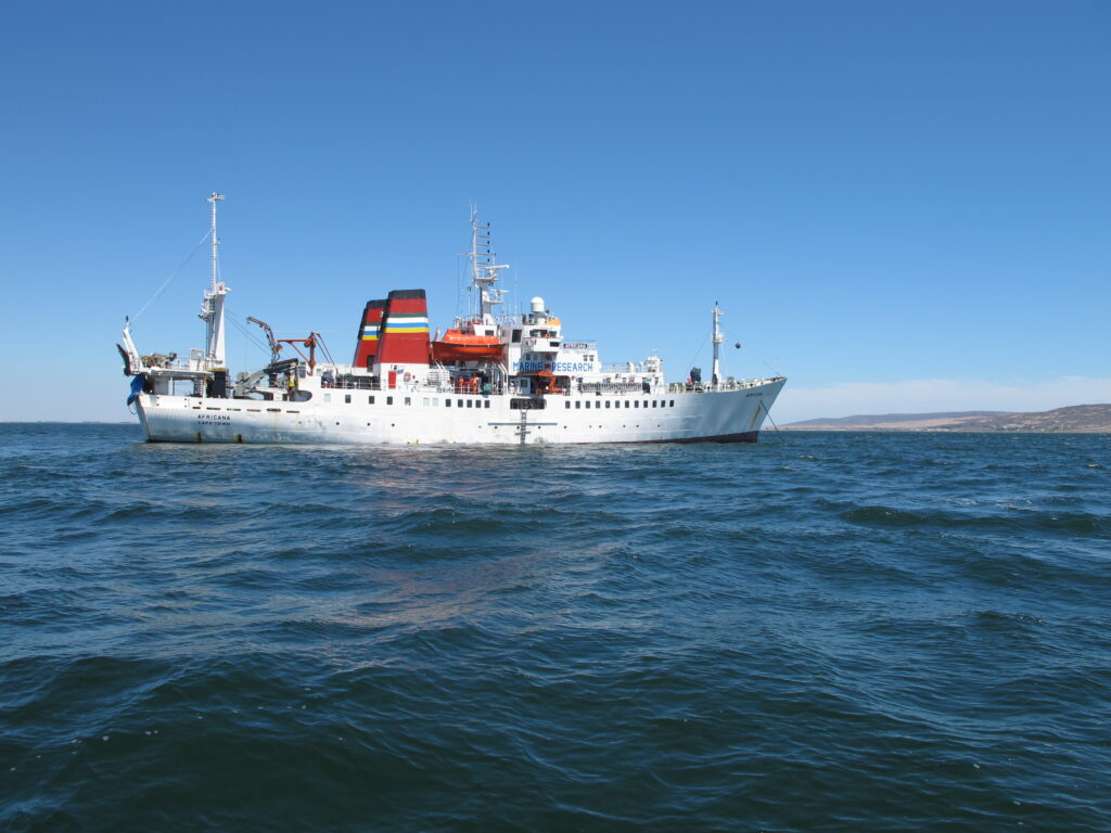
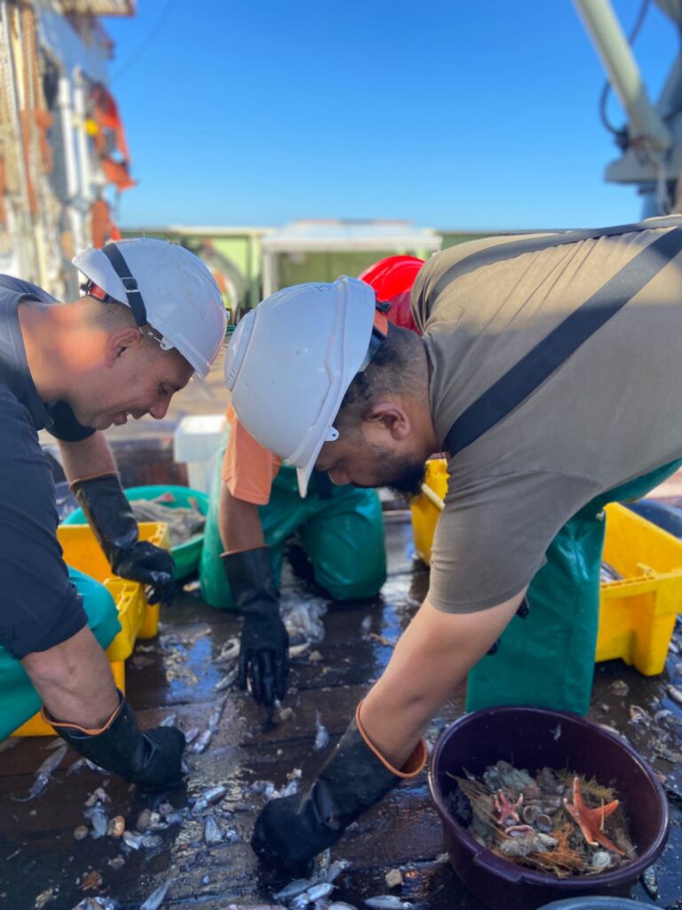
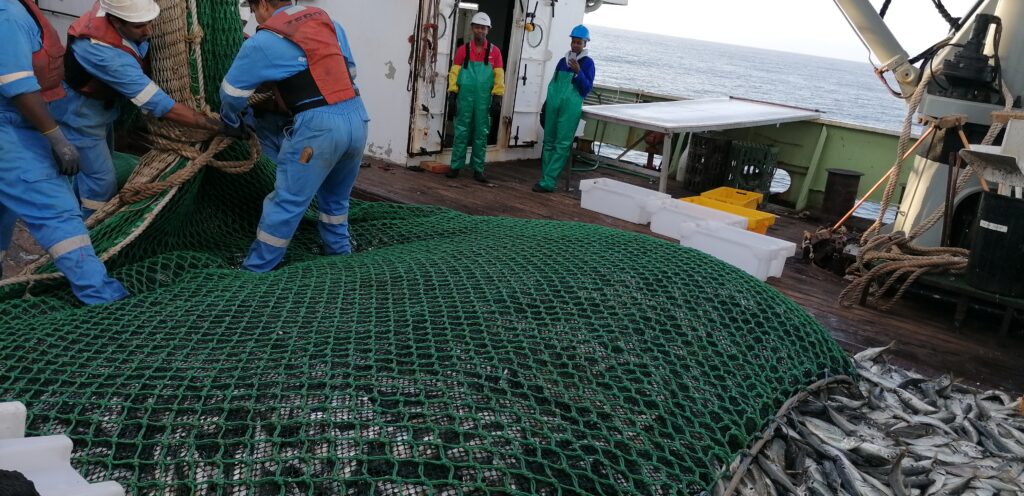
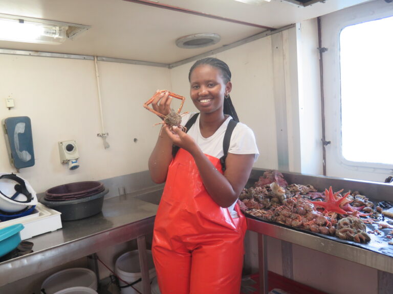
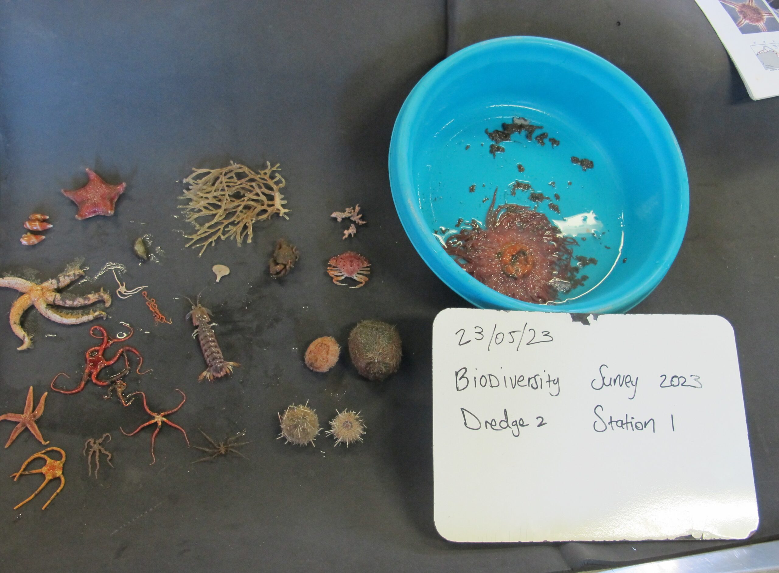
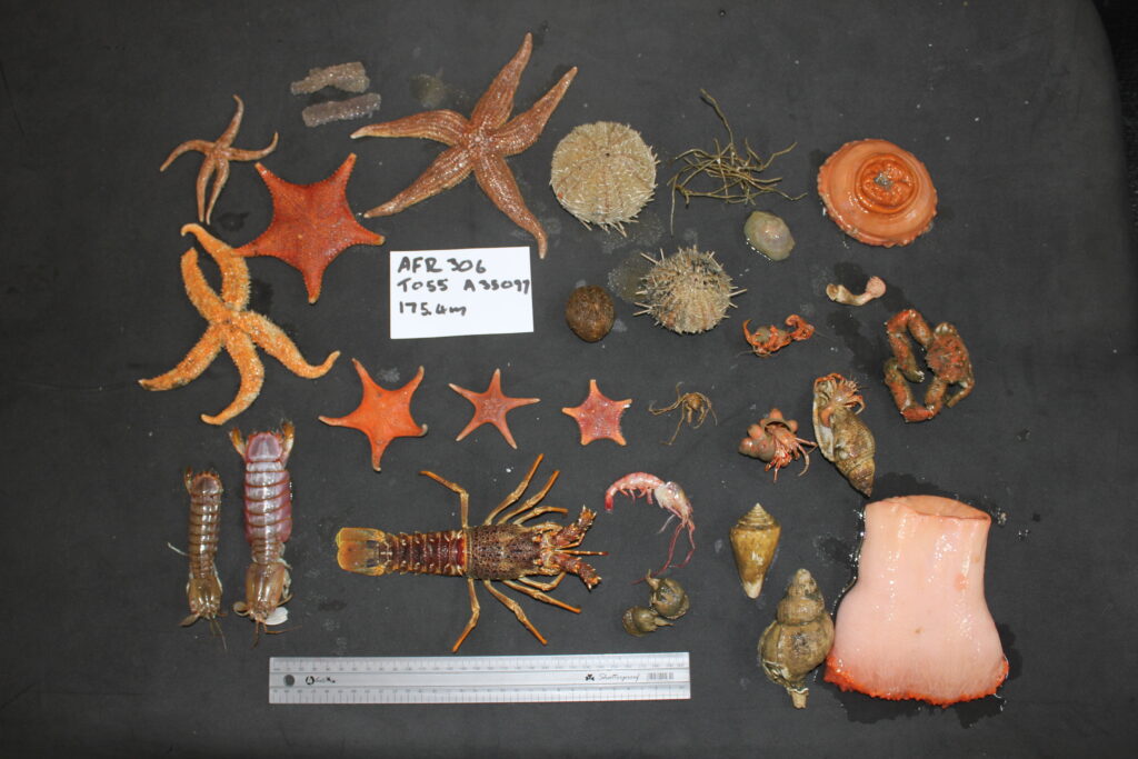
Established in 2011, SAEON Egagasini collaborates annually with the Fisheries Branch of the Department of Forestry, Environment and Fisheries (DFFE) to monitor offshore benthic invertebrate species, abundance and biomass during routine stock assessment surveys. Surveys are conducted aboard the government research vessel R/V Africana (to date; 2011–2024; 12 surveys of ~40 days each), covering ~68,000 nm² from the Orange River mouth to Port Alfred, at depths of 30–1,000 m across the Southern Benguela region. All epibenthic invertebrates retained by the research trawl are identified, counted and weighed.

Click to see more…

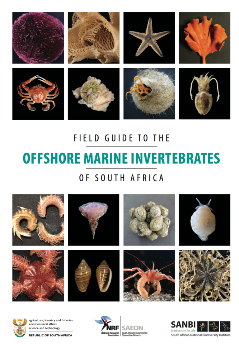
A key output of the programme is the Field Guide to the Offshore Marine Invertebrates of South Africa (Atkinson & Sink 2018 – doi 10.15493/SAEON.PUB.10000001) a 498-page reference catalogue covering the taxonomy and ecology of more than 400 taxa identified to genus or species level. Developed with taxonomists from 14 national and international institutions, this widely used resource fills a critical gap in South African marine science.
The long-term foundational dataset underpins research into vulnerable marine ecosystems, ecosystem characterisation, trawling impacts and area-based protection. To date, 14 new species distributions have been recorded for South Africa and 21 species new to science are being described.

Visual Surveys

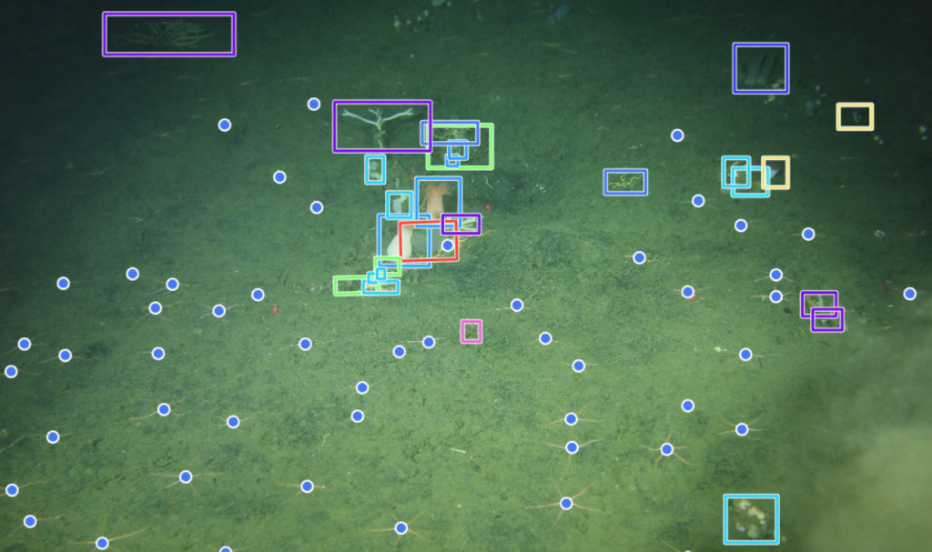
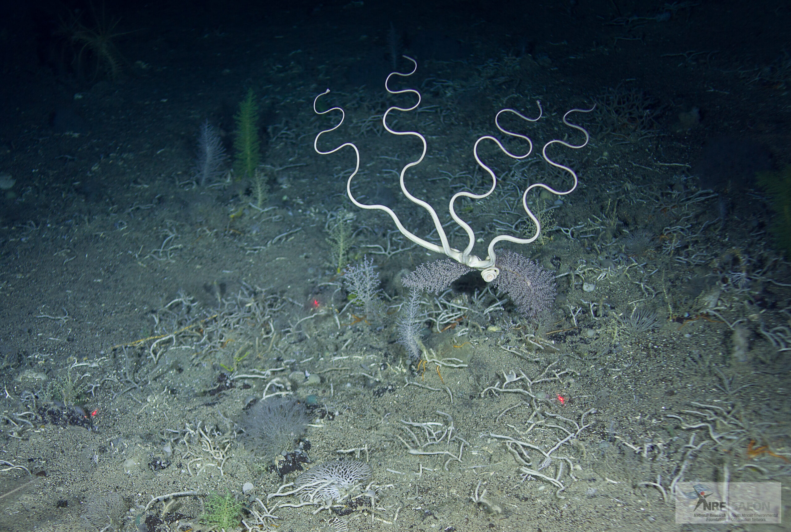
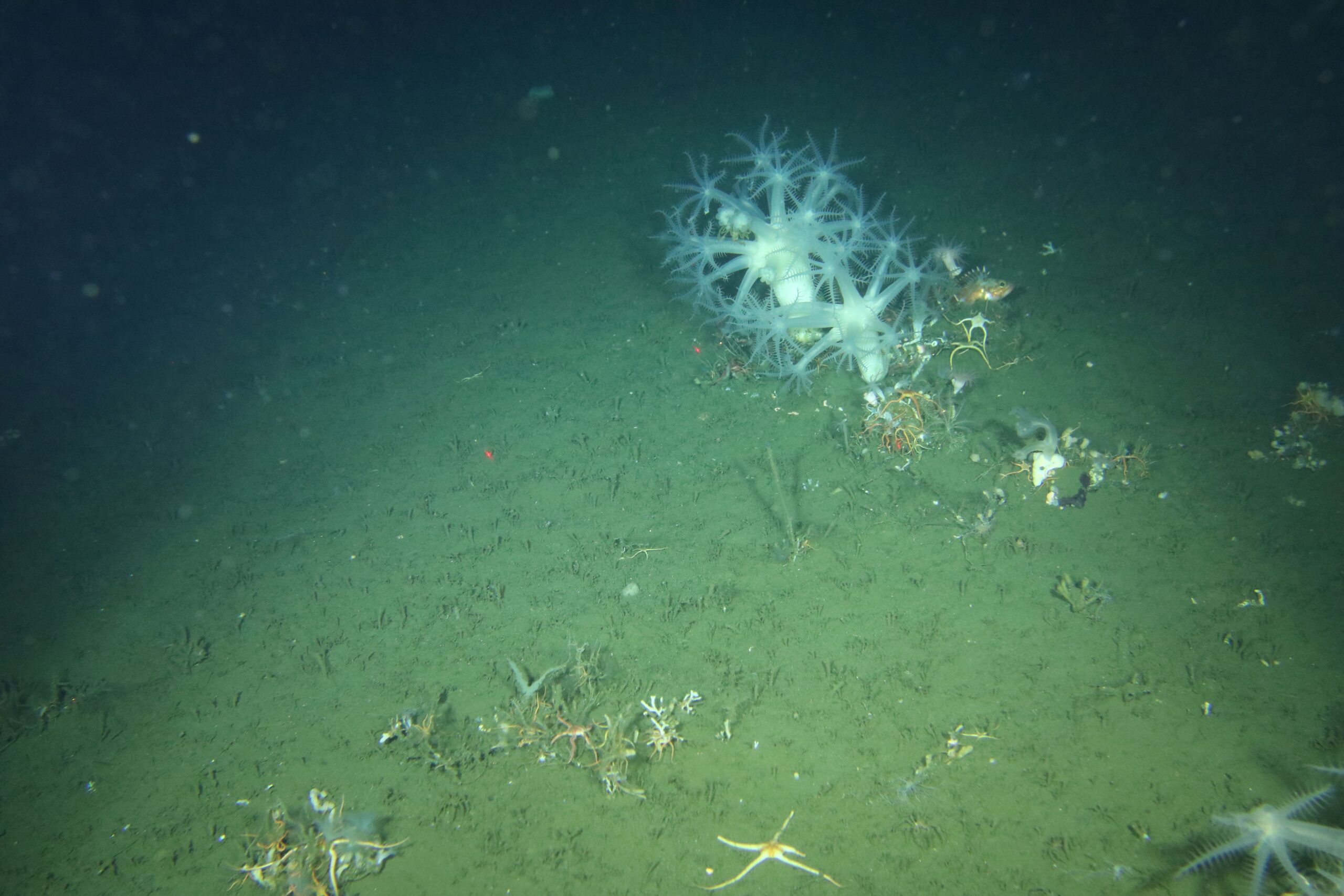
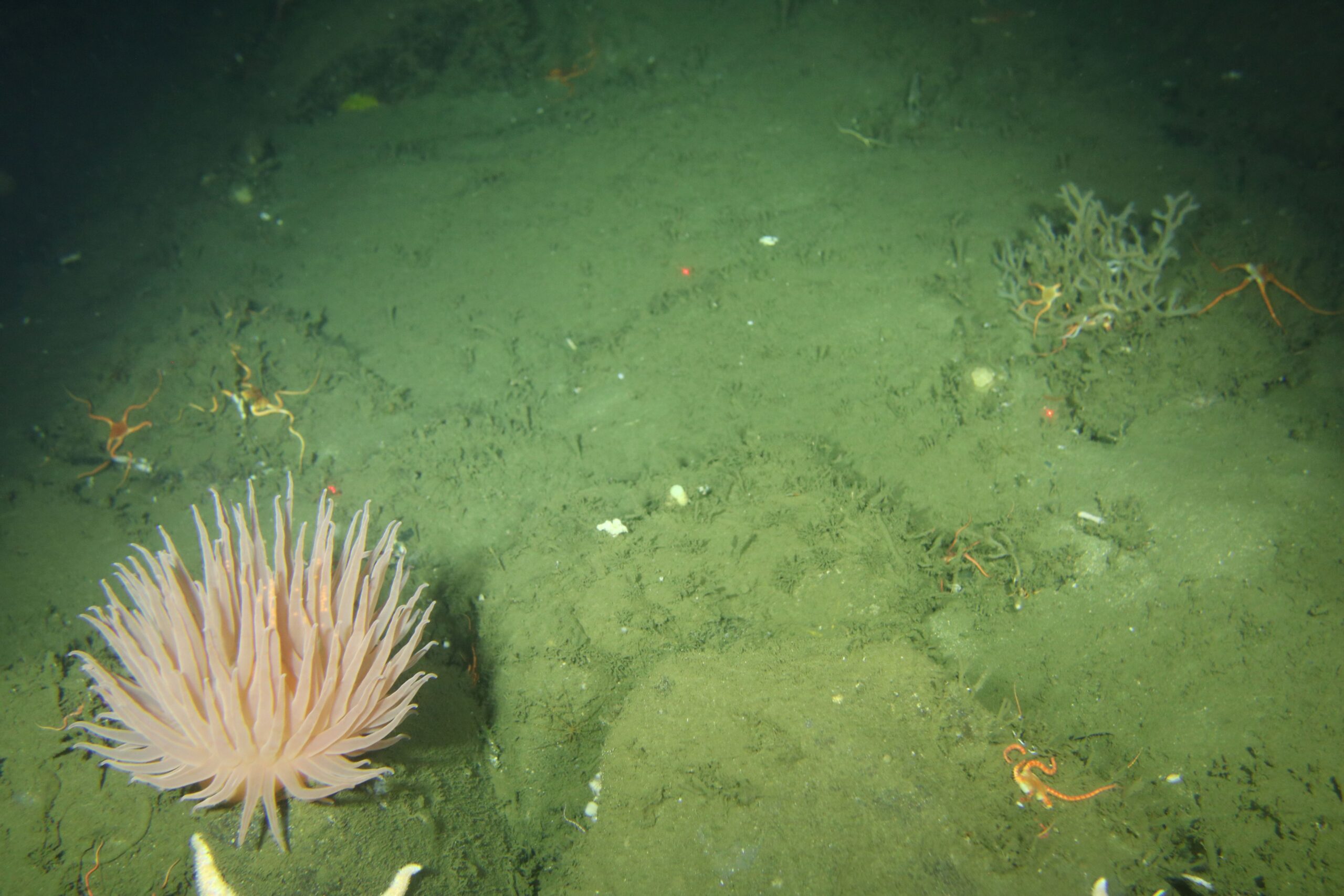
Visual surveys are one of the primary methods used by the Biodiversity team for the mapping and classification of the offshore benthic environment. These surveys also contribute to the ongoing monitoring of benthic invertebrate species and the associated Vulnerable Marine Ecosystems.

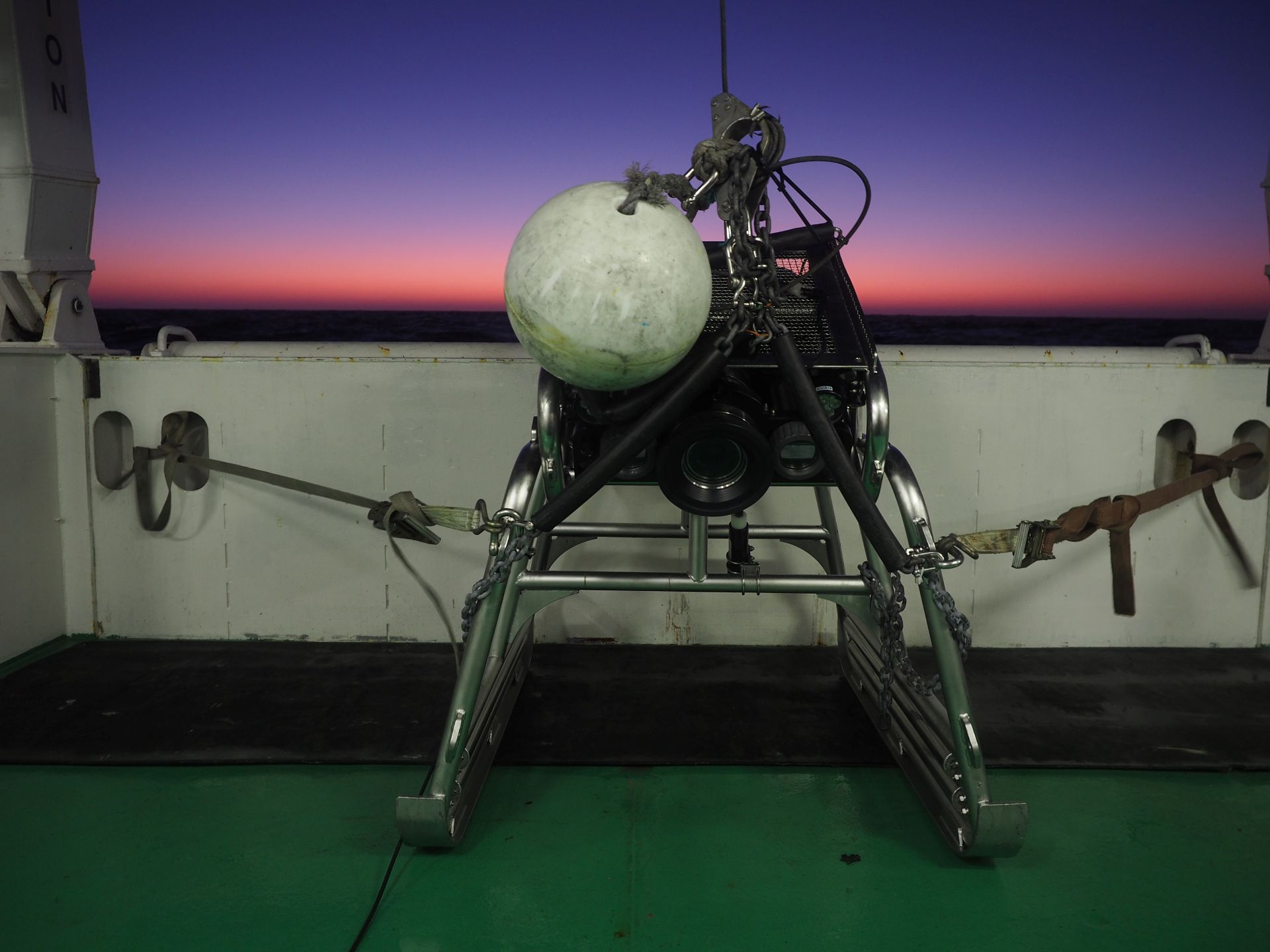
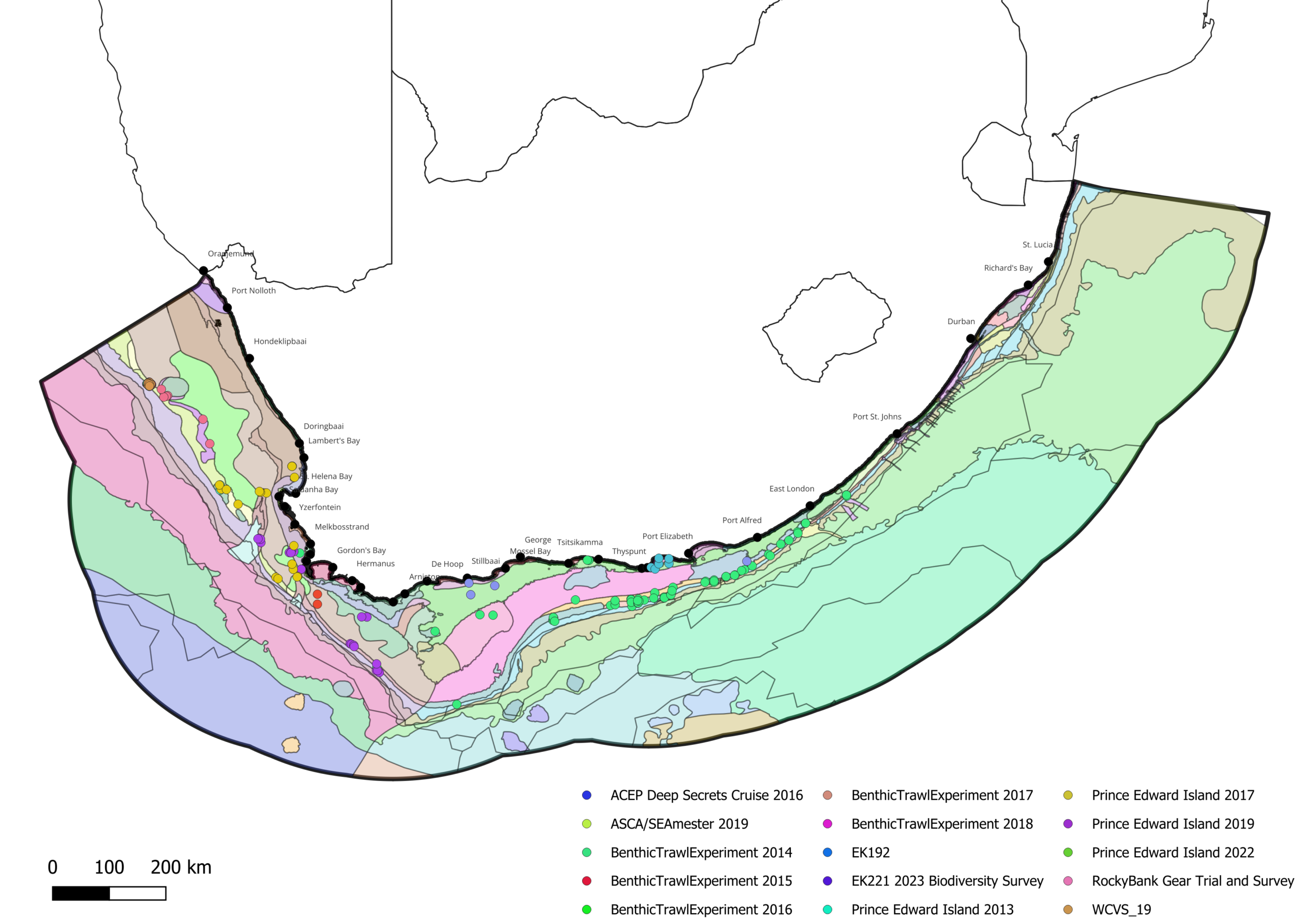
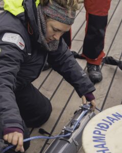
Since SAEON acquired the benthic towed camera SkiMonkey (C) SeaTechnology Services in 2013, several deployments to survey the seabed biodiversity have been successful (survey locations indicated on map below).

Click to see more…

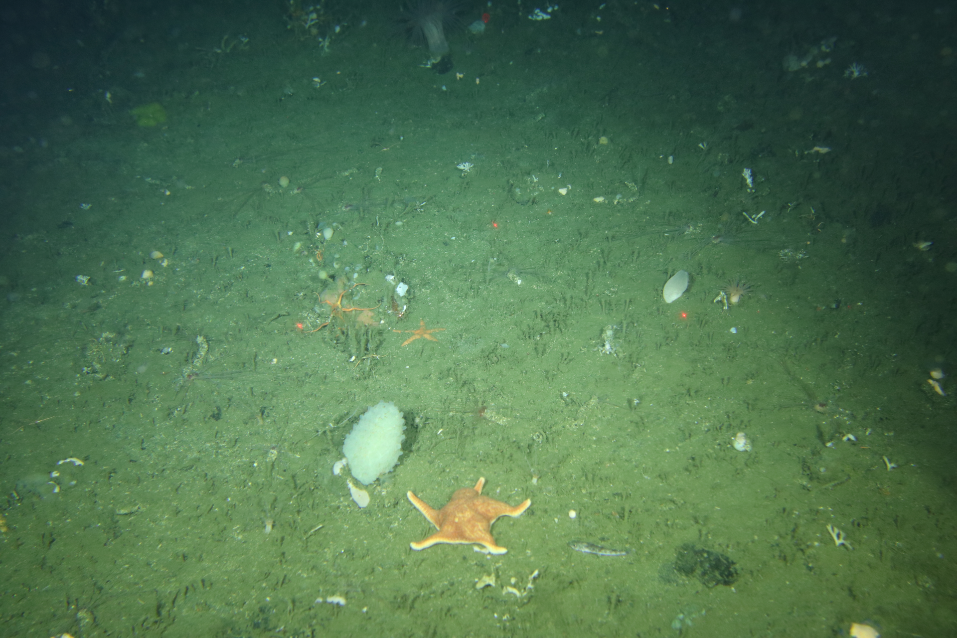
To date, the SkiMonkey camera has sucessfully surveyed 29 ecosystem types, including habitats around the remote Prince Edward Islands, and footage has been used to support ecosystem classification, fisheries eco-certification and several student academic projects.

While the Skimonkey system serves as a powerful platform for collecting benthic footage and includes various sensors for the collection of environmental data (temperature, salinity, oxygen, fluorescence, etc.), down to 700m, it’s operation does require specialized vessels outfitted with data-conductive cables (deployment has only happened off the R/V SA Agulhas II & R/V Ellen Khuzwayo). This has lead to the commissioning of an Azor Drift camera system capable of surveying the deep on less specialized vessels

With over 250 deployments of the Skimonkey system under our belt and newly installed upgrades along with a new 1000m drift camera system joining the team capable of being deployed in rocky habitats, we’re always looking forward to opportunities to continue exploring the ocean floor.
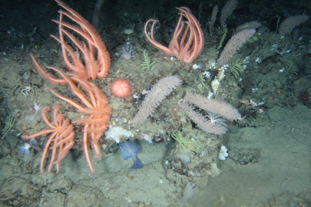
Underwater Imagery Analysis

With terabytes of underwater camera footage and imagery collected, the Biodiversity team explores various techniques and methods to process and analyse visual imagery data for mapping and monitoring.

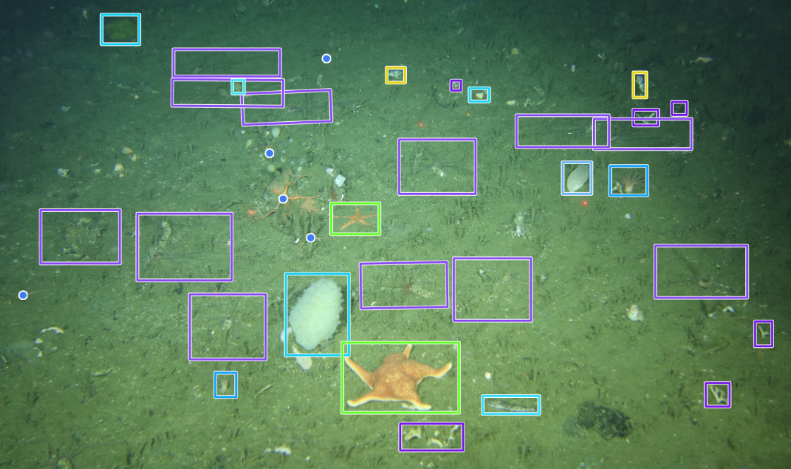
Using online annotation tools such as BIIGLE and exploring avenues such as trained AI object detection models for invertebrate species. The identification, monitoring and characterization of benthic invertebrate communities, especially Vulnerable Marine Ecosystems, can be done non-invasively.

SEAMAP

South Africa boasts high levels of marine biodiversity and endemism contributing to increased economic growth and job creation through sustainable harvesting, tourism, bioeconomy and climate resilience.  SeaMap aimed to deliver South Africa’s first data-driven marine ecosystem map using species occurrence and associated barcode records to support biodiversity assessment and spatial planning.

SeaMap was South Africa’s first coordinated effort to map national offshore marine invertebrate fauna funded by the Foundational Biodiversity Information Programme (FBIP), a joint initiative of the Department of Science, Technology and Innovation (DSTI), the National Research Foundation (NRF) and the South African National Biodiversity Institute (SANBI).

Click to see more…

Led by Dr Lara Atkinson (SAEON Egagasini), the project united 21 researchers from 12 institutions across the Western, Southern and Eastern regions to generate foundational biodiversity data supporting conservation, spatial planning and sustainable ocean management.
The project was structured around five focus areas:
• Coordinate and modernise South Africa’s marine biodiversity data collection, curation and accessibility through a shared national platform.
• Fill critical knowledge gaps in marine invertebrate distribution, spanning infauna, epifauna and associated bacteria at national spatial scale.
• Advance South Africa’s marine natural compound libraries by accessioning specimens and genetic sequences into national biobanks.
• Engage, upskill and build capacity among emerging researchers and students in barcoding, taxonomy and data management.
• Develop decision-support products to enable uptake of foundational biodiversity data by managers and policymakers.

The Team

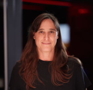
Dr. Lara Atkinson – Offshore Biodiversity Scientist (Team Lead)

Juan – Jacques Forgus – Biodiversity Instrument Technician

Dr. Kathryn Morrisey – Postdoctoral Fellow

Shandre Dreyer – Biodiversity Research Assistant

Thomas (Arno) Botha – Postdoctoral Fellow